Reliable Work in High-Risk Environments

| Insights

Development cooperation should reach people where they are. This also applies to high-risk areas such as Mali with an unpredictable security situation. Our Malian expert Moctar Bah used his visit to the Essen office to share how he developed a Remote Monitoring, Management, and Verification (RMMV) system that enables our teams to reliably carry out their work in high-risk areas while reducing exposure.

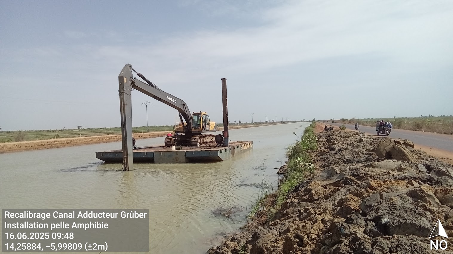
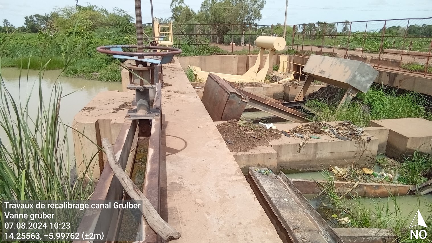
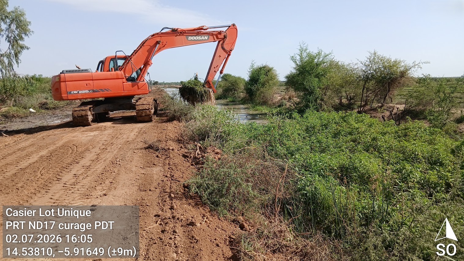
Single-lot irrigated perimeter - geottaged photograph of our RMMV system within the Mali protfolio. © Dorsch Impact, 2026

Irrigation in Conflict-Affected Areas

Access to water for irrigation and sanitation is the foundation of food security, health, and a dignified life. In rural and remote areas, ensuring reliable, sustainable access to these resources requires adaptable systems, and the ability to work effectively even where conditions are demanding. 

Dorsch Impact has been engaged in small-scale irrigation projects (IPRO, Irrigation de Proximité) and large-scale irrigation infrastructure in Mali for over two decades, working alongside local partners and national experts through an expanding portfolio. The Malian National Small-Scale Irrigation Programme (Programme National d'Irrigation de Proximité – PNIP) supports communities in building and managing irrigation infrastructure from micro-dams to village-run irrigated perimeters, alongside accompanying measures in agricultural development, food security, and capacity building.
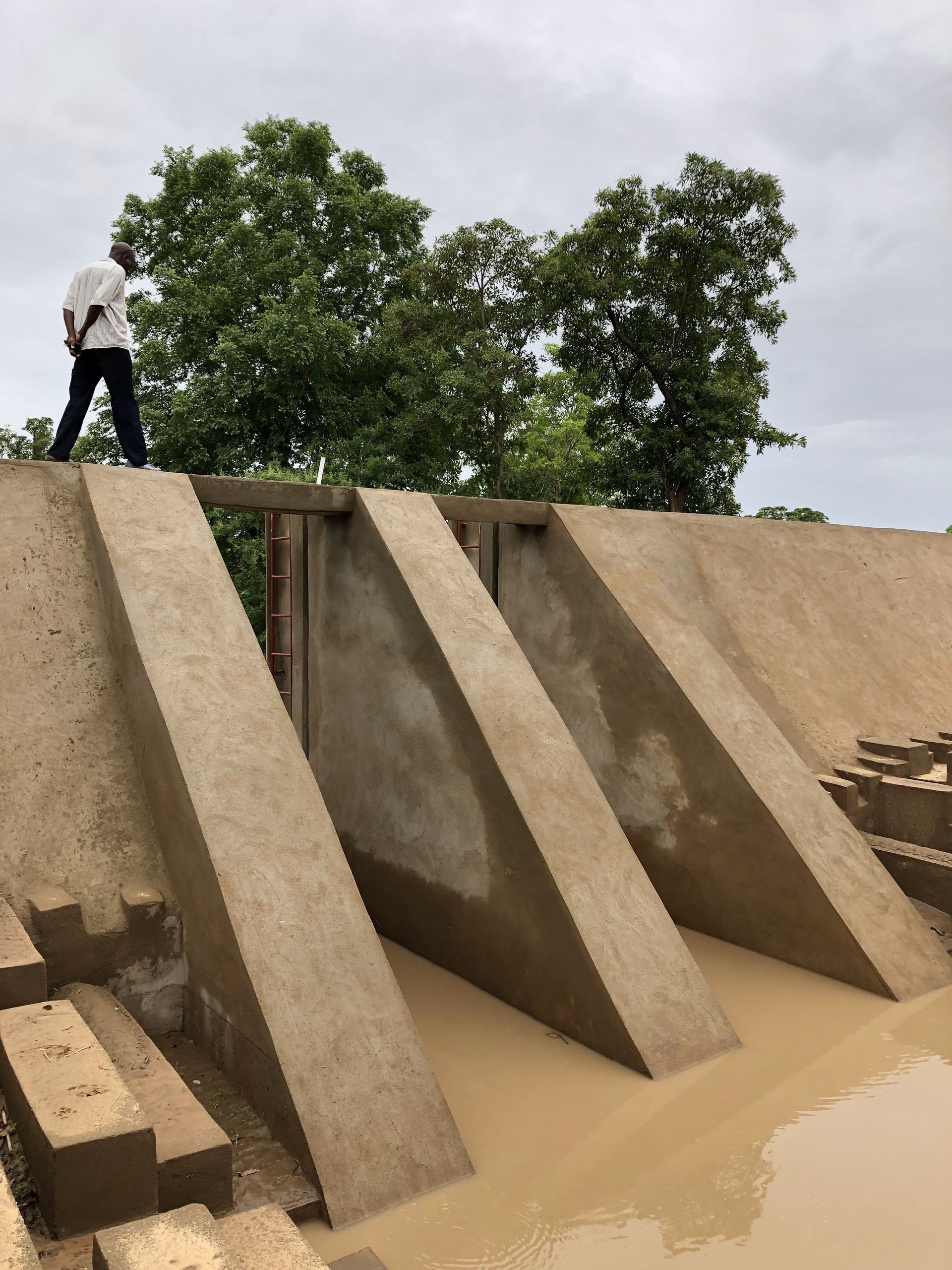
Ensuring reliable oversight of field activities across large territories in hostile areas is a core operational challenge. To meet it, Dorsch Impact has developed and refined its use of RMMV systems through a set of approaches and tools that enable project teams to supervise, track, and verify field activities even when direct access to sites is restricted. RMMV keeps implementation on track while maintaining transparent, credible reporting to clients, donors, and other stakeholders.

Experience from the Field

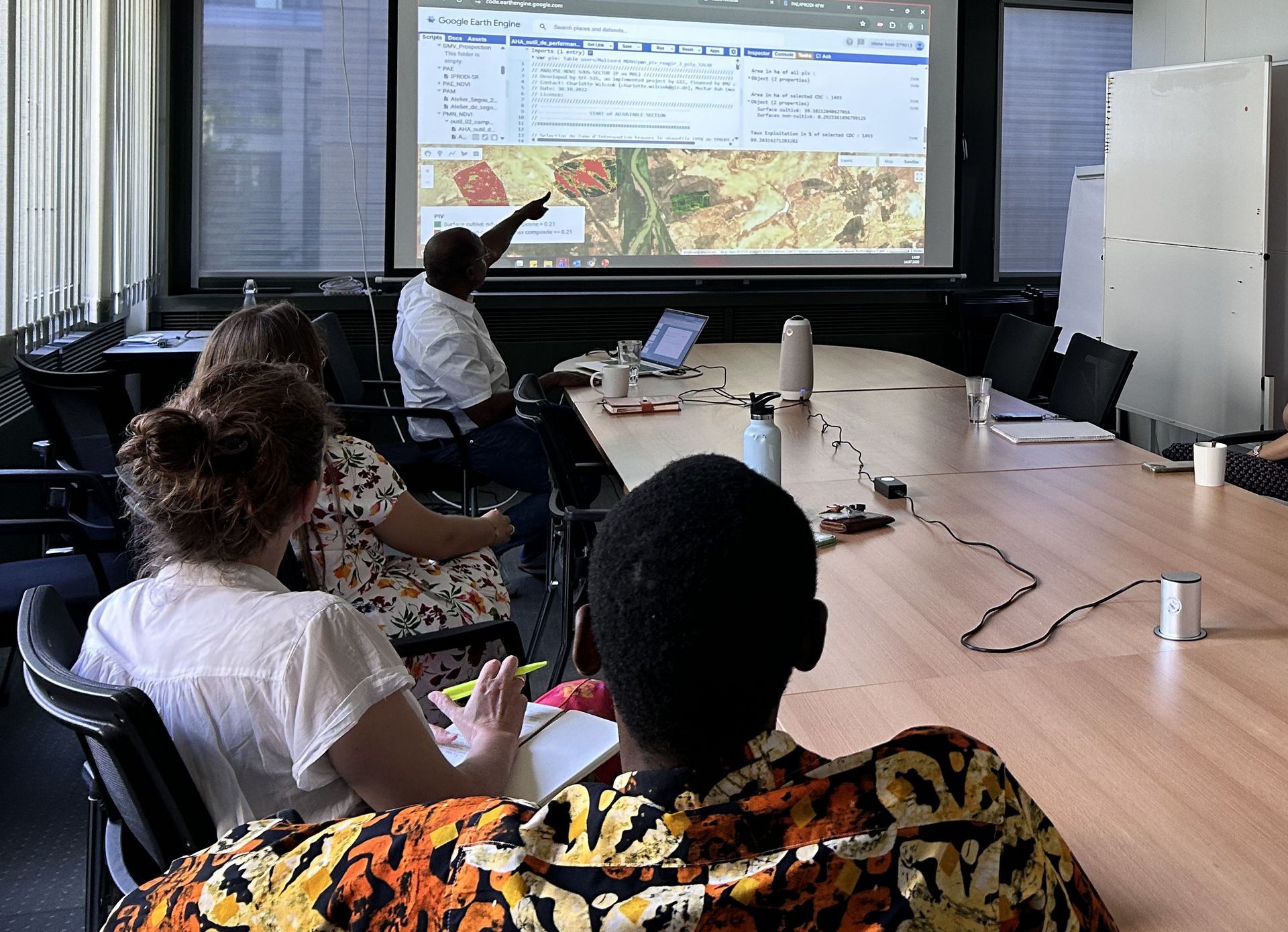
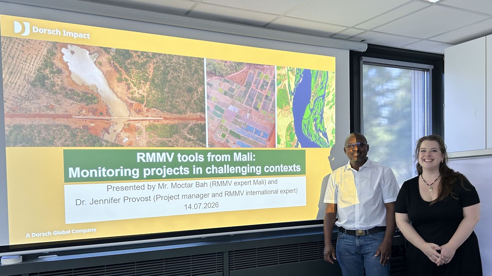
In July 2026, Moctar Bah, GIS and remote sensing specialist and RMMV champion for Dorsch Impact's Mali portfolio, visited our Essen office. Together with Dr. Jennifer Provost, Project Manager and RMMV expert at Dorsch Impact, Mr. Bah held a session for all interested colleagues within the Impact Academy format – a series of peer-learning sessions.

RMMV, in its broadest sense, describes any system that combines tools, data sources, and workflows to allow project managers, team leaders, and controllers to oversee field activities from a distance. It is not a single off-the-shelf solution: the right RMMV system for a project depends on the specific operational context, the nature of the activities being monitored, and the level of access to project sites. The approach must be designed, not simply deployed.

Over the course of a decade Mr. Bah has developed RMMV systems for Dorsch Impact's Mali projects, drawing on his background in mathematics, physics, and applied GIS, and actively promoted and supported through training by our company. Over the years, he designed and set up the platform for the ACTION project, which today is a lighthouse for the entire Mali portfolio. Dr. Provost has worked closely with Mr. Bah and, at Dorsch Impact, has focused on adapting and scaling RMMV approaches across the portfolio. She has trained numerous project teams in core RMMV skills, from GPS positioning, to taking field photos, to remote workflow management.

Tools in Practice

The Impact Academy session demonstrated three core tools and methods used to keep projects visible, verifiable, and well-documented – even from a distance. Our RMMV system in Mali replaces paper-based reporting through immediate digital data, enabling timely decisions based on verified field information. It allows a small monitoring team to maintain spatial awareness and direct resources where they are most needed, and it transforms field observations into verifiable evidence, making visual reporting credible and useful for clients, donors, and evaluators alike.

RMMV: Geotagged Pictures

Building on Collective Intelligence

The presentation sparked lively discussion amongst the colleagues attending, and several participants began further exploring how RMMV, GIS, and remote sensing could be applied in their own project contexts and country portfolios. For both Mr. Bah and Dr. Provost, it was rewarding to see how approaches developed for projects in Mali could resonate across Dorsch Impact's broader work, especially since RMMV is being explored across different regions and areas of expertise within the company’s projects. RMMV is not a niche tool for a single context: it is a transferable methodology that any project team operating in complex, high risk environments and across vast or hard to reach areas can learn from and build on. 

Visits like Mr. Bah's are an investment in the collective intelligence of Dorsch Impact. More than informative, it’s inspiring when a specialist who has spent years developing practical solutions in a specific context shares that knowledge with the wider team. Colleagues working on projects in other countries and sectors encounter new approaches they might never have considered. Ideas tested under real operational pressure in Mali become possibilities for teams facing comparable challenges elsewhere.

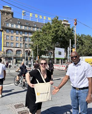
But of course, Mr. Bah’s visit was not all slides and screens. Despite the summer heat, colleagues took Mr. Bah on a short walking tour of a few Essen highlights before sitting down together for a generous meal at the traditional Gasthaus "Zum Renner", where he sampled a classic German dish in an authentically local setting. It was the kind of moment that reminds us that the relationships behind our projects are just as important as the work itself.

About Moctar Bah

Mr. Moctar Bah is a GIS and remote sensing specialist who has worked on Dorsch Impact projects in Mali for approximately ten years. He is a national freelance expert and a regular member of the national team led by Dorsch Impact's long-standing joint-venture partner, BETICO. With an academic background in mathematics and physics, Mr. Bah began his career as a teacher before moving into freelance consulting. His professional development has been shaped by a long and productive relationship with Dorsch Impact, including knowledge-exchange visits to Berlin in the early days of the IPRO programme, where he trained under Prof. Wolfgang Straub, an expert in cartography and GIS. Over the years, through numerous learning opportunities and his own initiative and curiosity, Mr. Bah has become the RMMV champion for Dorsch Impact's portfolio in Mali, designing and implementing the systems that keep projects visible, verifiable, and on track.

About Dr. Jennifer Provost

Dr. Jennifer Provost is a Project Manager at Dorsch Impact’s Water and Agriculture Department, where she has worked for four years. She first engaged with digital survey tools and simple coding programmes during her master's and PhD research. At Dorsch Impact, she has deepened this interest, with a focus on RMMV systems for project management in Mali. She has trained numerous project teams in GPS positioning, geotagged photo collection, and the organisation of remote management workflows.

Share

Topics

Agriculture and Irrigation

Related Projects