
Consulting for Water Loss Reduction Programme
The project “Consulting Services for the Implementation of the Accompanying Measures Component of the Water Loss Reduction Programme (WLRP)” in Karak Governorate aims to enhance the organisational, operational, and management capacities of the Water Administration of Karak (WAK). The goal is to transform WAK into a semi-autonomous, commercially operated unit, improving efficiency and service delivery. Key measures include decentralisation of business functions, financial audits, technical improvements, human resource development, public awareness campaigns, and possible Micro PSP involvement.
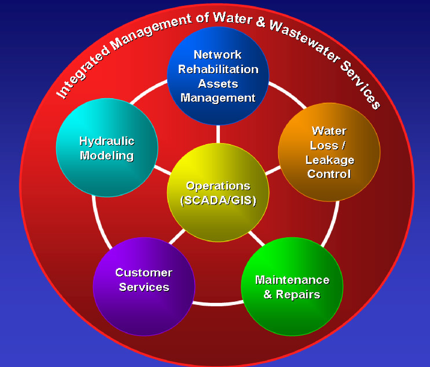
The methodology focuses on modernising data management, introducing GIS-based systems for maintenance and repairs, and establishing a systematic leakage control policy. A subscriber survey (CSS) and GIS unit will ensure continuous data updates and create a digital asset register for long-term use. The project also promotes private sector involvement, strengthens customer management, and enhances operational flexibility to reduce non-revenue water losses.
Disciplines
- Municipal Infrastructure
- Water Resources Management
Client
Water Authority of Jordan (WAJ), financed by KfW
Duration
From 2007 to 2009
Location
Karak, Jordan
Project Activities
Establishment of new divisions, functions and procedures
Development of new organizational structure
Training of employees
Decentralisation
Preparation of business plans
Development of NRW reduction and water loss reduction monitoring strategies
Base data collection and assessment
Implementation of water supply improvement program
Introduction of a preventive maintenance system
Management of pressure and energy usage
Improvement of management systems for customer services and subscriber affairs
Execution of a comprehensive subscriber survey
Improvement of financial and commercial management systems
Analysis and management of material and service flows
Revision and definition of outsourcing options
Establishment and support of a GIS unit
Contributing to the UN Sustainable Development Goals
We are committed to making a positive impact and supporting the UN Sustainable Development Goals (SDGs). This project contributes to the following SDGs: