
Tanzania Kilombero
The KILORWEMP Project (Technical Advisory Services for Biodiversity Conservation and Wetland Management in Kilombero Valley Ramsar Site),
is a joint initiative by BTC and Tanzania’s Ministry of Natural Resources and Tourism (MNRT), supported since 2013. In collaboration with local authorities from Ulanga, Kilombero, Rufiji, and Malinyi Districts, the project aims to sustainably manage the Kilombero and Lower Rufiji wetlands to protect ecological balance, improve local livelihoods, and support long-term economic development.
Located in the Morogoro Region, the Kilombero Valley is East Africa’s largest low-altitude freshwater wetland and a Ramsar-designated site of international importance. It forms part of the Rufiji River basin, a key national water source and agricultural zone, supporting over 200,000 people who depend on its natural resources—forests, fisheries, wildlife, pasture, and water.
However, growing pressures from population increase, agricultural expansion, land use change, and external environmental factors threaten the region. Originally designated as a Game Controlled Area (GCA) in the 1950s, the Kilombero GCA was poorly regulated. A revised boundary of 2,300 km² was proposed in 2011 under the 2009 Wildlife Act.
Project Phase 1 focuses on supporting MNRT in consolidating and demarcating the KGCA boundary, conducting assessments and consultations, and establishing the technical basis for future planning tools, including general and integrated management plans and an ecological monitoring system.
Disciplines
- Sustainable Natural Resources Management
- Water Resources Management
- Skills and Economic Development
Client
BTC/ENABEL, financed by Government of Belgium / EU
Duration
From 2015 to 2018
Location
Tanzania
Project Activities
Support for KGCA Boundary Consolidation
Develop protocols to plan, conduct, and document the boundary validation and demarcation
Support data compilation, GIS analysis, and quality control
Produce recommendations and follow-up plans to address challenges along the boundary
Diagnostic Study on Land Cover, Use, and Biodiversity Management
Assess GIS and land survey capacity of the Wildlife Division and prepare an upgrade plan
Identify standards for land cover mapping and spatial planning for the GMP and IMP
Acquire and process data, including ground-truthing and field validation
Prepare a land cover/use map and GIS database for the KVRS
Appraise needs for land use conflict guidelines supporting wildlife connectivity and biodiversity
Diagnostic Study of the Pastoralist Sector in KVRS
Conduct baseline assessment of pastoralist systems and social dynamics
Identify drivers of land use conflict, especially related to wetlands and biodiversity
Explore options for conflict resolution and integration into spatial and management planning
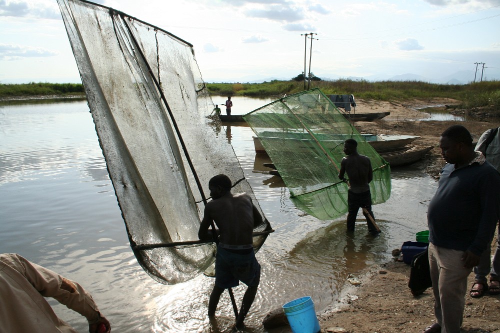
Diagnostic Study of the Artisanal Fisheries Sector
Conduct biological, environmental, social, and economic analyses
Assess livelihoods, value chains, and regulatory frameworks
Deliver a technical and participatory diagnosis of the sector, with management options
Scoping Study on Wetland Landscape Management (IMP)
Propose a conceptual and strategic framework for conservation measures at landscape level
Scoping Study for the KGCA General Management Plan (GMP)
Develop detailed terms of reference for the formulation of the GMP
Development of an Integrated Management Plan (IMP) for Kilombero Valley
Focus on Ngapemba, considering resettlement, land tenure, and key conservation corridors
Ensure alignment with World Bank environmental and social safeguards
Contributing to the UN Sustainable Development Goals
We are committed to making a positive impact and supporting the UN Sustainable Development Goals (SDGs). This project contributes to the following SDGs: